Devpost
Participate in our public hackathons
Devpost for Teams
Access your company's private hackathons
Grow your developer ecosystem and promote your platform
Drive innovation, collaboration, and retention within your organization
By use case
Blog
Insights into hackathon planning and participation
Customer stories
Inspiration from peers and other industry leaders
Planning guides
Best practices for planning online and in-person hackathons
Webinars & events
Upcoming events and on-demand recordings
Help desk
Common questions and support documentation
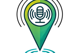
Want to make it through the city, but keep the din of crowd to the minimum? Utilize the soundscape predictive technologies to map out your next walk and keep the blaring and honking to a minimum!
Organization is an important skill to have. Juggling multiple schedules is hard and manually inputting into your calendar is a chore to remember. Let's try making that process easier.
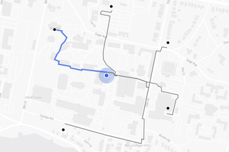
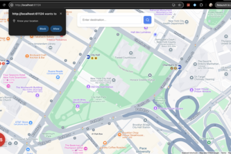
Our innovative map allows users to travel around New York City while showing them scenic sites along the way.
Let's improve the city by tracking repairs that need to me made !
Urban Endeavors is an app to encourage city travel. When users visit tourist destinations, the app will recognize their location and assign points accordingly. Let's Explore!
Curbsides imagines how modern camera/LiDAR-enabled vehicles can contribute to a AI-powered, real-time knowledge base of open street parking anywhere, anytime.
Find Your Community, Help Others Find Theirs.
Help overstimulated people find a safe, relaxing environment away from the stimuli affecting them
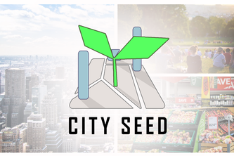
CitySeed is an AI powered platform where communities shape their cities through democratic proposals. Citizens propose ideas, AI analyzes feasibility, transforming community wishes into urban reality.
SafeStride — empowering you to walk with confidence, anytime, anywhere.
CityFindr helps you discover local events and organizations tailored to your interests. Create or join activities, connect with communities, and explore your city—all in one easy-to-use platform.
This project is intended to incentivize picking up litter as you see it by submitting photos of trash that was picked up and providing a payout based on a share of ad profits from the app.
Mobile app that uses AI to find nearby parking lots.
A map that can be toggled between all stations in NYC and accessible stations only.
When approaching or leaving the bus, students have been struck by ongoing traffic. The project aims to implement retracting bollards to remedy this.
Mapping Eco-Friendly Journeys To NYC Park Events
What do people really need to improve their urban environments? Funding, access to information, and equitable governmental policies. Welcome to LibrePol, bridging the gap between people and policy.
This is a website that will categorize and review any picture of any animal.
CommUnity is a platform that empowers local communities by amplifying residents' voices. Through collective input and AI, it connects citizens with officials to drive urban change & progress.
Stay Green gives city residents a forum to report on, read about, and contribute to green spaces in their own city; from the largest of parks, to small patches of grass that google maps wouldn't show.
An Android app that tracks carbon emissions from driving using the Android Activity Recognition API and location services.
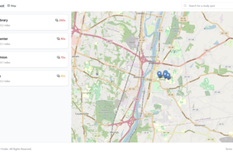
Our goal was to enhance the study experience by helping students find the perfect spots on campus, ensuring efficient use of urban spaces and promoting a collaborative learning environment.
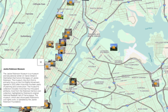
CityTales brings your city’s history to life by revealing hidden stories and facts at each place you visit. Track your journey, unlock insights, and connect deeply with your city.
Meet Charlie, the iOS app that keeps you hydrated by locating nearby water fountains. With real-time mapping, health reminders, and eco-friendly focus, Charlie makes hydration easy and sustainable.
25 – 48 of 86